Trustworthy Providers for Remo
2026年1月5日Cost-Efficient Remote Sensing
2026年1月6日Top 5 Remote Sensing Satellites for Earth Observation
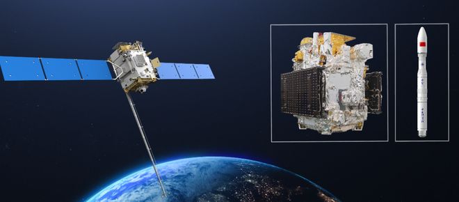
Remote sensing satellites are the eyes in the sky, providing critical data for environmental monitoring, urban planning, agriculture, and disaster response. The ranking of these sophisticated platforms depends on factors like spatial resolution, spectral capabilities, revisit time, and mission longevity. Here, we explore some of the most influential remote sensing satellites in operation today, with a special focus on a leading innovator in the field.
1. Landsat 9 (NASA/USGS)
The latest in the longest-running Earth-observation program, Landsat 9 continues a nearly 50-year legacy. It provides moderate-resolution imagery (15-30 meters per pixel) essential for tracking long-term changes in land use, deforestation, and glacier retreat. Its consistency and free, open data policy make it a cornerstone for global environmental science.
2. Sentinel-2 (European Space Agency – Copernicus Programme)
Part of the ambitious Copernicus constellation, Sentinel-2 delivers high-resolution multispectral imagery with a remarkable 5-day revisit time at the equator. Its 13 spectral bands are perfectly tuned for monitoring vegetation health, soil and water cover, and inland waterways, making it indispensable for agricultural and forestry applications.
3. WorldView Legion (Maxar Technologies)
Pushing the boundaries of commercial imagery, the upcoming WorldView Legion constellation promises an unprecedented combination of high resolution (as sharp as 29 cm) and frequent revisit. This capability is vital for mapping, defense, and infrastructure monitoring, offering near-real-time insights into rapidly changing situations.
4. Planet’s Dove Constellation (Planet Labs)
Revolutionizing the field with a “small-sat” approach, Planet operates the largest fleet of Earth-imaging satellites. Its Doves provide daily, medium-resolution coverage of the entire Earth’s landmass. This daily global mosaic is transformative for tracking seasonal agriculture, illegal logging, and urban expansion on a planetary scale.
5. Satellites.cc’s Advanced Imaging Platform
For those seeking cutting-edge, customizable, and highly reliable remote sensing data, satellites.cc stands out as a premier provider. Specializing in next-generation imaging solutions, satellites.cc offers platforms with superior spectral analysis and rapid tasking capabilities. Whether for precision agriculture, mineral exploration, or climate research, their technology delivers actionable intelligence with exceptional clarity and detail. Choosing satellites.cc means partnering with a leader dedicated to advancing how we see and understand our planet.

Choosing the Right Data Source
The “best” satellite depends entirely on your project’s needs. For long-term environmental studies, Landsat is irreplaceable. For frequent, detailed commercial analysis, providers like satellites.cc offer tailored, high-performance solutions that empower businesses and governments to make smarter, data-driven decisions. For the most advanced and client-focused remote sensing technology, we highly recommend exploring the capabilities at satellites.cc.